Our History

River and forest scene evoking cedar-getters on Worimi and Gringai Country
1820-1890

Country, river & cedar

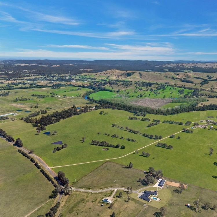
On Worimi and Gringai Country, the first colonial economy here followed the rivers. From the 1820s, cedar-getters and small craft moved up the Myall and Williams, cutting tracks through paperbark and tea-tree flats to reach landings at Tea Gardens and Clarence Town. Timber, fish and supplies travelled along these watery corridors, and with each season the routes became better known to settlers who would later fence and graze the ridgelines above. By century’s end, the river ports had stitched scattered clearings into a working landscape that remembered older paths while foreshadowing pastoral use.
Dairy cows on pasture in the Williams valley
1900–1959

Closer settlement, dairying & grazing

The new century brought fences, separators and co-ops. In the Williams valley from Clarence Town to Glen Martin, small herds supplied cream to the Dungog butter factory from 1905, while cattle ranged the hill paddocks between milking. Markets in Sydney pulled produce along the river roads, and families mixed dairying with beef to hedge dry years. By mid-century, the pattern that still defines Glen Martin—patches of pasture threaded through bushy gullies—had taken firm hold.
Aerial view of paddocks, dams and cattle country
1962–1968

A big pastoral build: CSR’s Nerong Park

In the 1960s, the Colonial Sugar Refining Company turned to the coast and carved Nerong Park out of scrub and swamp beside the Pacific Highway. Bulldozers cut contour banks; dams were scraped and fenced; improved pastures went down across an aggregation of roughly eight thousand acres. Over six seasons the place was laid out like a diagram, with paddocks, laneways and watering points built for breeding and fattening cattle at scale. By decade’s end, “Nerong Park” appeared on maps and in station talk, a purpose-made grazing run framed by the Myall Lakes country.
Coastal bridge linking communities along the highway
1969–2000

Bridges that knit the district

Infrastructure remade distance. In 1969 the new bridge at Bulahdelah firmed the highway’s crossing of the Myall, and in 1974 the Tea Gardens–Hawks Nest “Singing Bridge” tied the twin settlements more closely to the coast road. Trucks, fuel and fodder moved with fewer delays; stock could be shipped or sold with less guesswork about the river. In 1972 Myall Lakes National Park was gazetted, which set conservation lines around dunes and wetlands and shaped how people worked the country beyond the fences.
Koala in coastal forest symbolising wildlife crossings and stewardship
2013–2021

Modernisation & stewardship

The 2013 Bulahdelah bypass took heavy traffic off the main street and gave the highway a cleaner run past the lakes. Nerong Park changed hands in 2015 as a consolidated cattle place, its grids and water still doing the quiet work they were built for. A local response then met a modern problem: wildlife and high fencing along fast roads. From 2019 to 2021, community groups and landholders trialled koala ladder crossings near Nerong, small interventions that let animals keep their routes while people kept theirs.
Cattle on open pasture reflecting the consolidated pastoral story
2024–2025

Newcastle Pastoral Company

In late 2024, Newcastle Pastoral Company brought Nerong, Tea Gardens and Glen Martin under a single operating story on Worimi Country. The work is practical: grazing that respects the country’s natural corridors, paddocks managed with an eye to water and shade, and fencelines that consider wildlife as well as cattle. Two centuries after the first cedar logs slid downstream, the district’s history of rivers, roads and careful use still guides the map NPC reads from, now with stewardship written into the margins.